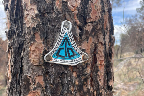
Written by Sam Baggenstos, Conservation Associate.
Greetings!
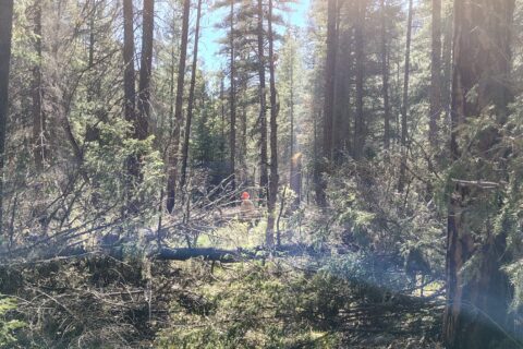
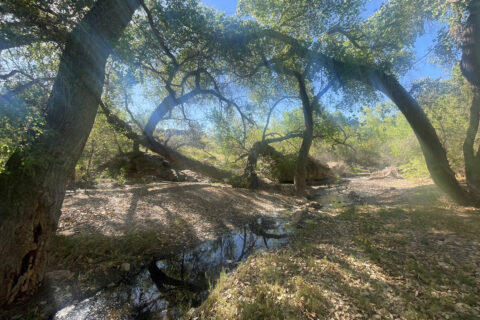
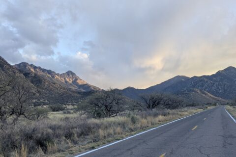
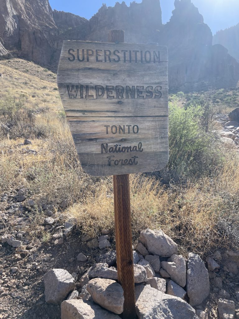
This last hitch was a whirlwind of hiking and driving. Split into two teams of two people each, we wended our way through four different wilderness areas in the Tonto National Forest. Every day each team drove to a new trailhead, hiked a new trail, and camped in a new spot. Our goal: finding and documenting user developed trails (UDTs) in the Hellsgate, Mazatzal, Four Peaks and Superstition Wilderness Areas. By the time the hitch ended we had driven over 900 miles and hiked over 90.
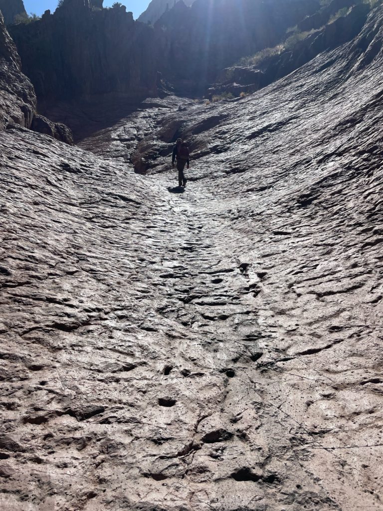
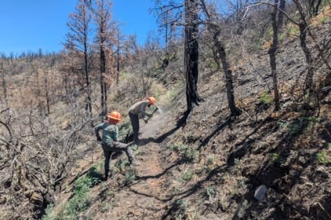
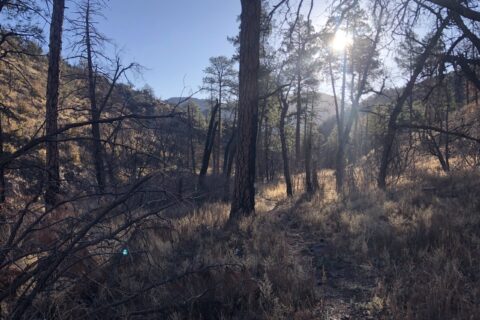
For those who don’t know, a user developed trail (sometimes called a social trail) is any noticeably impacted path that is not maintained or recognized as official by a land management agency. People often form these trails by walking away from the main trail. For example, at some point a hiker might notice that there is an interesting viewpoint a hundred yards off the official system trail. This might cause the hiker to walk off through the brush to access the viewpoint. Through the months or years other recreators may do the same thing. As dozens and dozens of people walk a similar route to the viewpoint, a trail begins to form. These are the sorts of trails we documented this hitch, writing down specific sorts of information such as trail width, vegetative impact and presence of human waste. For every UDT we also take a GPS track.
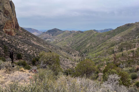
This documentation proved to be both engaging and exhausting. For the first half of the hitch, in Hell’s Gate and Mazatzals, the social trails were few and far between. We felt like we were trail sleuths on the hunt for the ever-elusive UDT. However, by the time we reached the Four Peaks and Superstition Wildernesses, the situation became a bit overwhelming at times. In particular, there are places on the west side of the Superstitions where the landscape is a confusing maze of overlapping social trails. We mapped and recorded as many as we could, but oftentimes there were simply too many to document in the relatively short time we spent in each area. Hopefully, the data collected from this hitch will be helpful in informing the Tonto National Forest’s management of some of Arizona’s most beautiful and sensitive areas!