
Wilderness areas are required, among other things, to provide “outstanding opportunities for solitude”, as specified in the Wilderness Act of 1964. In order to ensure that character of Wilderness is still being properly managed for, the U.S. Forest Service is required to perform Solitude Monitoring in its Wilderness areas as part of its ongoing Wilderness Stewardship Performance process.
Wild Arizona has partnered with the Forest Service to perform Solitude Monitoring in a number of different Wilderness areas around the state, and we have opportunities for volunteers to help with this process. If you are going to find yourself in any of these areas in the near future, or if you’re looking for a great new place to go visit while helping collect data to ensure that everyone has the opportunity for solitude into the future, please contact us and let us know!
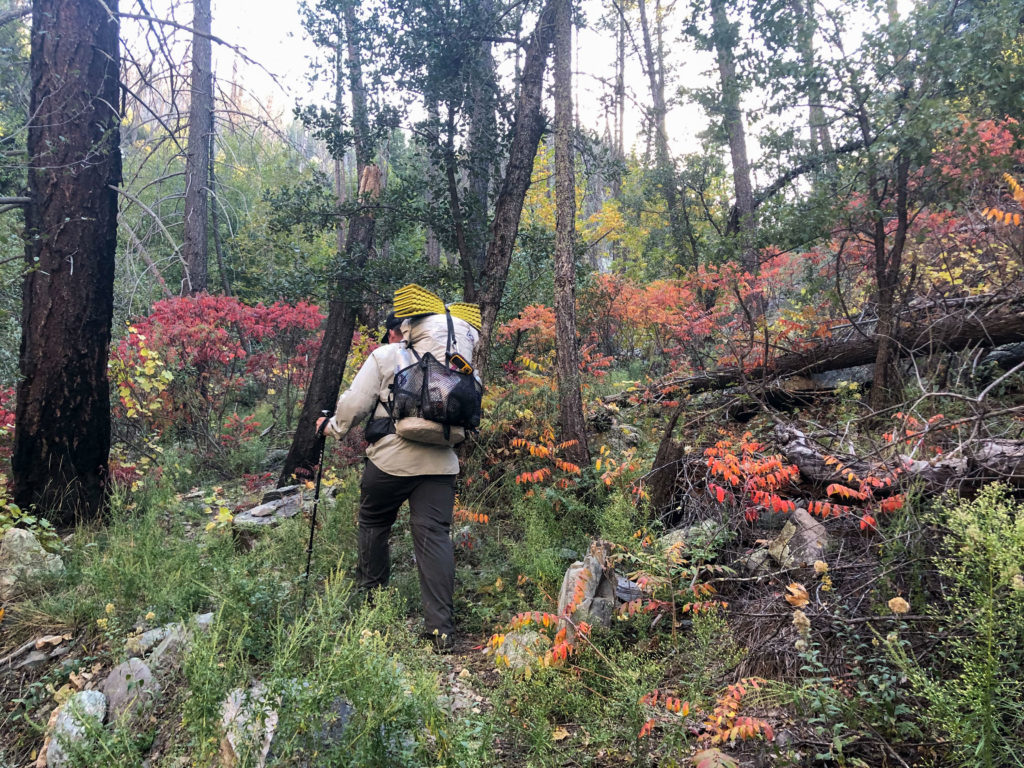
What does Solitude Monitoring involve? It’s simple! You spend at least 4 hours recreating by your preferred method—hiking, backpacking, horse riding, etc.—in one of the monitoring areas listed below and count how many encounters you have with other humans while you’re out recreating. You log your encounters on a provided data collection form, and submit it to us. Data is collected separately for both weekdays and weekends/holidays, so please let us know what days you would be available for when reaching out.
Click the monitoring area links below to see details, driving directions, and maps for each area. Download and print a data collection form below. Please contact us before going out and collecting data for the first time!
Coronado National Forest (Southeastern Arizona)
Mt. Wrightson Wilderness

Rising a magnificent 7,000 feet from the desert floor, 9,452-foot-high Mount Wrightson is visible from great distances. At the core of the Santa Rita Mountains, this Wilderness has rough hillsides, deep canyons, and lofty ridges and peaks surrounded on all sides by semiarid hills and sloping grasslands. Ponderosa pine and Douglas-fir dominate the upper elevations. The stream-fed canyons support an abundance of plant and animal life, including many montane Mexican plants that grow nowhere else north of the border. There are also many species seen in few other places in the United States. At the foot of Madera Canyon on the edge of the Wilderness, a developed recreation area serves as a popular jumping-off point for backpackers. (from Wilderness.net)
Monitoring Areas
- Super Trail from trailhead to Josephine Saddle
- Old Baldy Trail from trailhead to Josephine Saddle
- Bog Springs Trail
- Florida Trail
Galiuro Wilderness
The precipitous, rocky, and brushy Galiuro Mountains rise abruptly in block-like uplifts from the almost flat desert plains. Nineteen miles in length and six miles in width (on average), they are almost all designated Wilderness. Erosion has done its work here, creating many rugged cliffs with brightly colored rocks and exposed soils. Bisected by two main canyons, Redfield and Rattlesnake, the mountains support vegetation varying from semidesert grasslands through pinion, juniper, oak, and brush to mixed conifers and even aspens in the higher elevations. From about 4,000 feet, the ground rises to 7,671 feet on Bassett Peak. You’ll find no perennial streams, but riparian areas appear throughout the Wilderness. Several springs supply water almost year-round: Power’s Garden, Mud Spring, Corral Spring, Juniper Spring, South Field Spring, Kielberg Dam, Walnut Spring, Cedar Spring, and Holdout Spring. The plentiful wildlife includes black bears, mountain lions, javelinas, coyotes, bighorn sheep, and pronghorn, as well as many smaller mammals and birds. (from Wilderness.net)
Monitoring Areas
Santa Teresa Wilderness

Looking for an extraordinary desert mountain Wilderness experience? Then head to the Santa Teresa Mountains, but be forewarned: the going’s not easy. Between Aravaipa Canyon Wilderness and the San Carlos Apache Indian Reservation adjoining the BLM’s North Santa Teresa Wilderness, access here is difficult. The Santa Teresas are a network of rugged mountains with bald summits, deep canyons, and sprawling mesas. Elevation ranges from less than 4,000 feet to 7,481 feet on the summit of Cottonwood Peak. Holdout and Mud Spring Mesas dominate the central Wilderness. Extremely rugged Holdout Canyon typifies the Santa Teresas: abundant caves and alcoves hollow into eroded cliffs with picturesque formations. Thick chaparral vegetation covers the terrain with stands of ponderosa pine and Douglas-fir on the north flanks and the crest of Cottonwood Peak. Black bears live here among coatis, javelinas, and mountain lions. Peregrine falcons soar overhead, hunting for prey. (from Wilderness.net)
Monitoring Areas
Kaibab National Forest (Northern Arizona)
Kendrick Mountain Wilderness
Kendrick Mountain Wilderness encompasses Kendrick Peak, one of the highest peaks in the vast San Francisco volcanic field located on the Coconino Plateau in north-central Arizona. Reaching an elevation of 10,418, the summit affords views of the surrounding plateau and volcanic field. A fire lookout was first established on the summit in the early 1900’s, and continues to be staffed to this day. In 2000 the entire wilderness was involved in a large wildfire. Fire intensities ranged from light to very severe, with more intensely burned areas most evident on the west, north, and east slopes of the peak. Montane mixed conifer forests are present in the unburned and lightly burned areas. Natural recovery processes are occurring in more intensely burned areas, with aspens and other early seral species becoming established in those areas. (from Wilderness.net)
Monitoring Areas
Saddle Mountain Wilderness

Straddling the eastern edge of the Kaibab Plateau the Saddle Mountain Wilderness is a rugged land of narrow drainage bottoms and steep scarps (a line of cliffs produced by faulting or erosion). The gentle slopes on the main ridge of the area drop dramatically to form the Nankoweap Rim on the south. Elevations range from about 6,000 feet on Marble Canyon Rim to 8,000 feet on Saddle Mountain itself, a prominent ridge with a profile that resembles a saddle, horn and all. Utah juniper and pinion pine in the lowlands give way to mixed conifers in the highlands. In 1960 a raging fire destroyed approximately 8,000 acres of trees, but the vegetation in the area has rebounded. Regrowth vegetation includes a dense mass of locust, oak, aspen, elderberry, and young coniferous trees. Several smaller fires have occurred in the area in recent years. A perennial stream flows in North Canyon, spawning ground for the endangered Apache trout. Four year-round springs, three in North Canyon and one in South Canyon, provide water. Mule deer, grouse and turkeys live in the timber, and other mammals, birds, and reptiles are permanent residents, including rattlesnakes. Bison, introduced within the last century, can occasionally be observed in the wilderness. (from Wilderness.net)
Monitoring Areas
- East Rim Trail and North Canyon Trail loop between Wilderness boundaries
- Nankoweap / Saddle Mountain Trail
Tonto National Forest (Central Arizona)
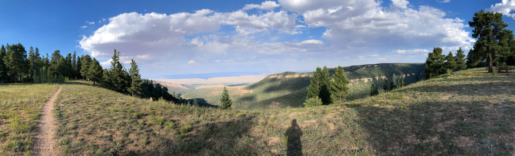
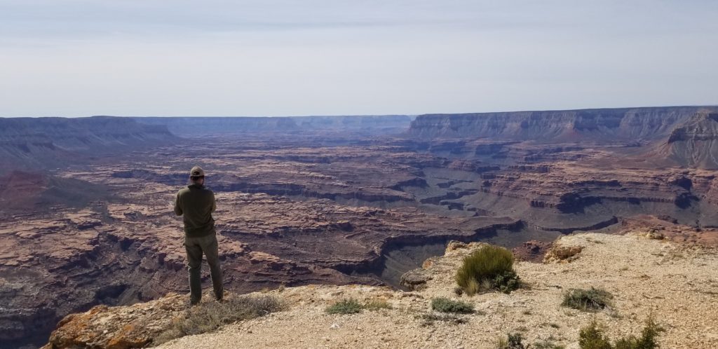
Mazatzal Wilderness

In the language of the Aztecs mazatzal means “an area inhabited by deer,” but just how the word reached Arizona, or what significance it holds, remains somewhat of a mystery. Yes, deer inhabit the area. Yes, evidence shows that humans, among them the Yavapai and Tonto Apache, have exerted their influence here for at least 5,000 years. But there is no indication that the Aztecs themselves ever journeyed to this rough mountainous region. Established as a Primitive Area in 1938, Mazatzal became pre-Wilderness Act “wilderness” in 1940 and one of the original Wilderness Areas in 1964. Narrow, vertical, difficult-to-access canyons fill the central and eastern portions, while the Verde River rolls through the western portion. The rolling riparian terrain along both sides of the Verde constitutes Arizona’s only Wild River Area. Given how close Mazatzal is to Mesa, a major population center, this is a remarkably remote and beautiful area. (from Wilderness.net)
Monitoring Areas
- Barnhardt Trail from trailhead to upper waterfall
- Deer Creek Trail from trailhead to Wilderness boundary beyond Davey Gowan grave
- North Peak Trail from trailhead to Wilderness boundary
- South Fork Trail from trailhead to Wilderness boundary
- Sheep Bridge along the three trails departing from trailhead to Wilderness boundary
Hellsgate Wilderness

Lying at the base of the Mogollon Rim, upper Tonto Creek has incised a 1,000-foot-deep canyon that runs entirely through the center of this Wilderness. A perennial waterway, Tonto Creek creates deep emerald pools sometimes separated by impassable falls. The area also contains Haigler Creek with its impressive rock formations. Elevations range from 6,440 feet atop Horse Mountain in the northeast corner to 2,960 feet where Tonto Creek leaves the area in the southwest. Trout, catfish, and smallmouth bass inhabit both creeks, popular destinations with anglers. Available water helps to support a variety of wildlife: black bears, mountain lions, mule deer, coyotes, gray foxes, javelinas, beavers, and many small mammals and birds. You will find exceptionally rough and broken terrain with moderate to very steep slopes on long rocky ridges. (from Wilderness.net)